Geology Bites: Tom Herring talks High-Precision Geodesy
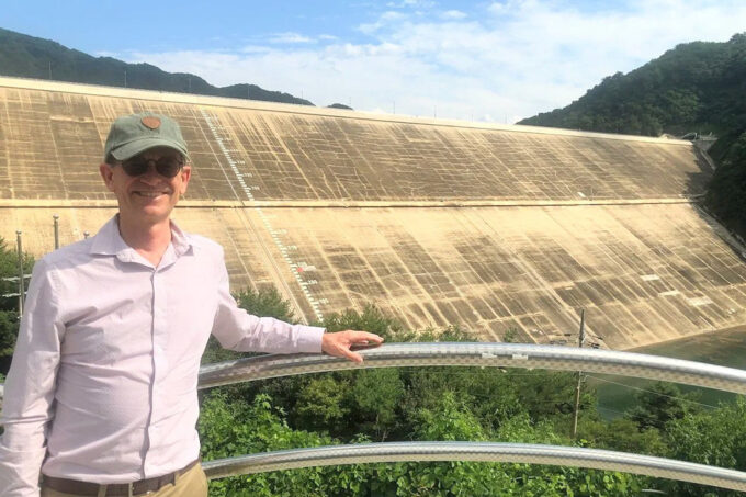
Tom Herring in front of a dam near the DMZ in South Korea where the concern was to be prepared for North Korea to breach dams on their side of the border in an attempt to flood South Korean infrastructure. Image credit: Tom Herring
Improvements in satellite-based measurements, such as GPS, have drastically reduced the cost of instrumentation, while resolution has increased to millimeter-level accuracy. While this may make navigating your next road trip easier, scientists are also using this technology to measure the Earth with unprecedented precision in the field of geodesy.
EAPS Professor Tom Herring, a pioneer in high-precision geodetic analytical methods and navigation applications, sat down for the podcast Geology Bites with Oliver Strimpel to discuss advances in the field and their applications in earthquake research.
Give it a listen here, or search for it wherever you get your podcasts.